
Winter Trek · Kinnaur, Himachal Pradesh
About the trek
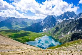
Imagine waking up to a world transformed into a winter wonderland, where every breath you take feels like a gust of fresh, crisp air. The Rupin Pass Trek in Kinnaur, Himachal Pradesh, is a journey through dramatic landscape changes, from dense forests to snow-laden trails. As you ascend, the air grows thinner, and the terrain more challenging, culminating in a breathtaking pass at 4650 meters. This trek is not just a physical challenge but an emotional odyssey, where the silence of the snow speaks louder than words. You'll traverse 52 km over 8 days, each step a testament to your resilience. The best moments? Crossing frozen lakes, camping under a canopy of stars in a snow-blanketed camp, and the sheer exhilaration of conquering the pass. This trek suits those who seek not just a challenge but a transformation, a chance to confront their limits and emerge renewed. Expect a rollercoaster of emotions - from the thrill of adventure to the serene beauty of the snow-clad Himalayas.
Key Facts
Why Trekkers Love It
- 01Traverse through a dramatic shift from lush forests to a snow-laden alpine landscape.
- 02Experience the thrill of crossing frozen lakes and rivers.
- 03Camp under the stars in a snow-blanketed camp, a unique experience of its own.
- 04Conquer the Rupin Pass at 4650 meters, a significant altitude achievement.
Day by Day
The Route
Route & Itinerary
Dhaula
🚩 Starting Point
Drive from Shimla, trek start
Sewa
Waypoint 1
Forest campsites
Jakha
Waypoint 2
Traditional village stay
Saruwas Thatch
Waypoint 3
Open meadow camp
Rupin Waterfall
Waypoint 4
Iconic cascading waterfall
Upper Waterfall Camp
Waypoint 5
High camp above the falls
Rupin Pass
▲ Highest Point
Snow bridge crossing at the col
Sangla
🏁 End Point
Kinnaur valley descent end
Altitude
Elevation Profile
Dhaula
1,980m
Sewa
2,380m
Jakha
2,580m
Saruwas Thatch
3,100m
Rupin Waterfall
3,650m
Upper Waterfall Camp
4,000m
Rupin Pass
4,650m
Sangla
2,621m
Start
1,980m
Peak
4,650m
Total Gain
+2,670m
When to Go
Monthly Climate Guide
Best months to trek: May, Jun, Sep, Oct. Avoid Jul, Aug — heavy rainfall makes trails risky.
May
BESTBest Season
12–25°C
Jun
NOWMonsoon Onset
12–22°C
Sep
BESTPost-Monsoon
10–20°C
Oct
BESTBest Season
5–18°C
Getting There
How to Reach
Nearest Airport
Shimla Airport, Shimla, 220 km
Nearest Railway
Shimla Railway Station, 230 km
Flight to Shimla, then road/bus (₹2,000, 8 hrs)
Train to Shimla, then road (₹1,500, 12 hrs)
Direct bus/car (₹1,000, 14 hrs)
Flight to Shimla, then road (₹8,000, 3 hrs flight + 8 hrs road)
Train to Shimla, then road (₹2,500, 30 hrs)
Bus/car (₹2,000, 30 hrs)
Flight to Shimla, then road (₹10,000, 3 hrs flight + 8 hrs road)
Train to Shimla, then road (₹3,500, 48 hrs)
Bus/car (₹3,000, 48 hrs)
Last Mile to Base Camp
Shared jeep from Sangla to base camp (₹500, 2 hrs)
Pro tip: Carry extra layers and snacks for the last-mile trek-in.
Costs
Budget Breakdown
Trek costs ₹15,000–₹35,000 depending on your style and whether you hire a guide
Mid-Range Trek
Guide + porter, comfortable guesthouses
per day
₹3,500 – ₹4,500 per day
Prices are estimates for 2025–26. Costs vary by season and group size.
Preparation
Pack & Stay Safe
What to Pack
clothing
- Down jacket
- Fleece jacket
- Thermal inner × 2 sets
- Waterproof jacket & pants
- Trekking pants × 2
- Woolen gloves & cap
footwear
- Trekking boots with ankle support
- Gaiters (recommended if snow)
- Woolen socks × 4–5 pairs
- Camp shoes
equipment
- 50–60L backpack
- Sleeping bag rated −10°C
- Trekking poles
- Headlamp + spare batteries
- Water bottles 2 L
essentials
- Sunscreen SPF 40+
- Sunglasses (UV400)
- Altitude medication
- First-aid kit
- Energy snacks & nuts
Safety Tips
- 1Snow bridge crossing
Permit & Entry Info
No special permit for most treks. Register at forest checkpost at trek head. Inner Line Permit needed for Spiti, Kinnaur, and upper Lahaul areas.
Emergency Contacts
HP Police Emergency
District Hospital Manali
HP Tourism Helpline
Common Questions
Frequently Asked Questions
The Rupin Pass Trek is classified as difficult due to its high altitude, steep ascents, and challenging terrain. Expect daily distances of 6-8 km with significant altitude gain.
The best months are May, June, September, and October. These months offer stable weather, clear trails, and the chance to experience both snow and greenery.
The cost ranges from ₹15,000 to ₹35,000 depending on your style, transport, accommodation, food, permits, and whether you hire a guide.
Yes, a permit is required. It can be obtained through local authorities or your trekking agency. The cost is typically included in the trek package.
No, this trek is not recommended for beginners due to its difficulty level, high altitude, and challenging terrain.
The max altitude is 4650m. Altitude sickness is a risk; acclimatize properly, stay hydrated, and listen to your body.
Essentials include warm clothing, sturdy trekking boots, a sleeping bag rated for low temperatures, a hydration system, snacks, and a first aid kit.
The nearest city is Shimla. From there, take a road journey to Sangla, followed by a trek-in to the base camp. Total travel time is around 12-14 hours.
The total distance is 52 km, with daily distances ranging from 6-8 km.
It's not recommended due to the trek's difficulty, remote location, and potential for altitude sickness. A guide ensures safety and enhances the experience.
In the best season (May, Jun, Sep, Oct), daytime temperatures range from 10-20°C, dropping to 0-5°C at night.
Mobile network is limited, and there are no ATMs at the base camp. Carry enough cash for local expenses.
Have more questions? Use the AI planner above for personalised answers.
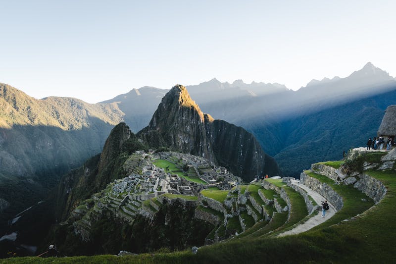
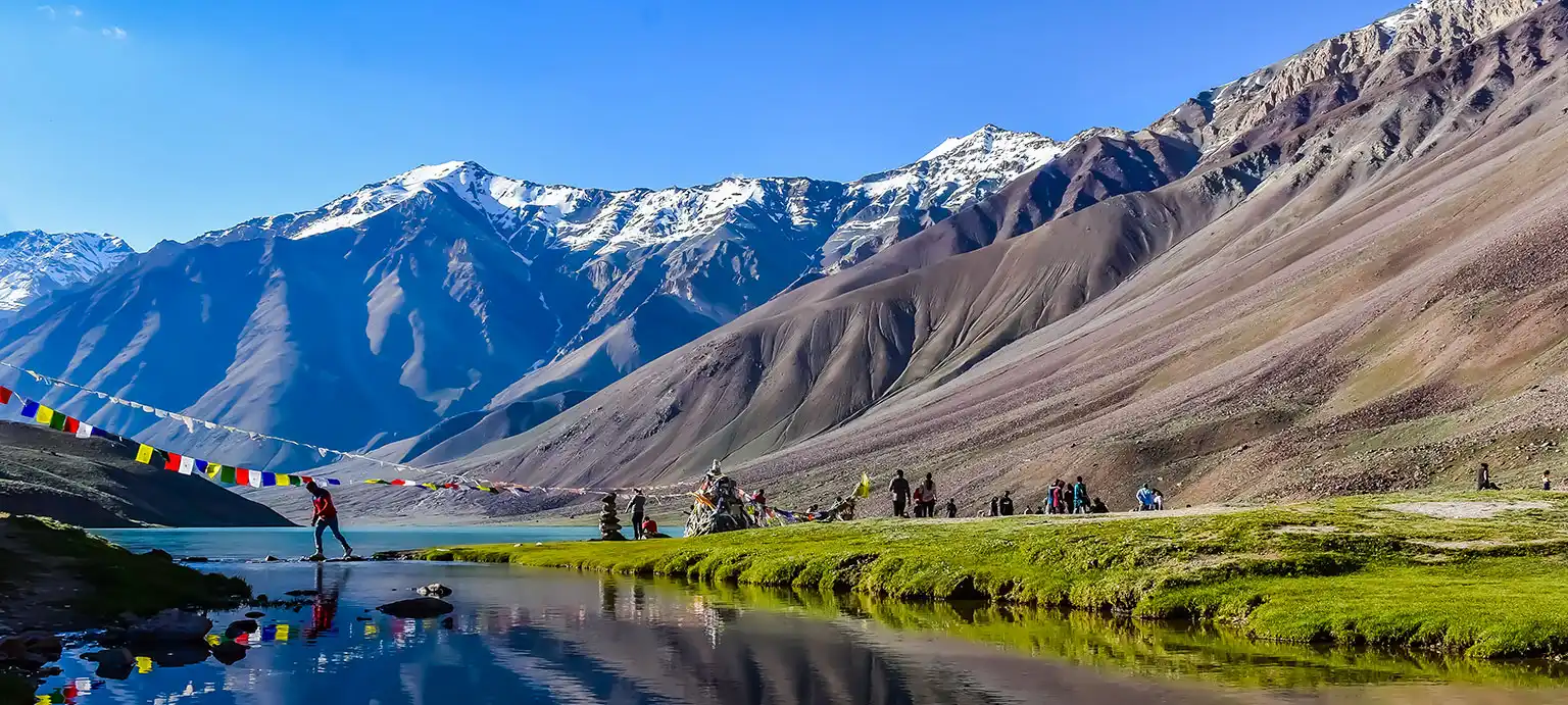
Similar Treks You Might Like
More adventures with similar difficulty and terrain

Planning Rupin Pass Trek?